Drone Services for Business: Advanced Inspection, Thermal Imaging, and Surveying
The use of advanced drone technology saves time, ensures data reliability, and minimizes occupational risks. See how professional aerial inspections and measurements support the construction, energy, insurance, and manufacturing industries by providing key information for making informed decisions.
- Inspections of Solar Farms
- Industrial Infrastructure Inspections
- 3D Models and Construction Supervision
- Inspections for the Insurance Industry
- Agriculture – Protecting Wildlife from Hay Harvesting
- Surveying and Cartography
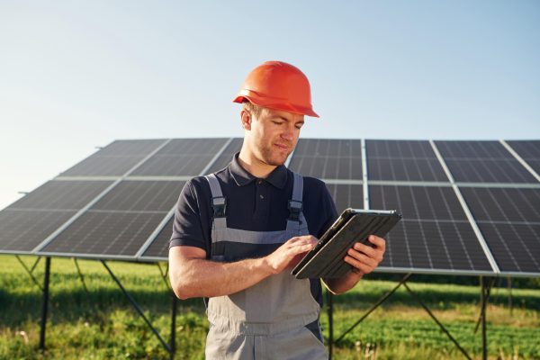
Inspections solar farms
Maximizing efficiency and quickly identifying malfunctions. Manual inspections of large-scale solar farms are inefficient and costly. A thermal imaging survey allows for the inspection of thousands of panels in a single day, while they are operating normally and without the need to shut down the system.
What do you get out of it?
- Protection against financial losses: Quick identification of damaged cells (hotspots) allows the system to be restored to full operational capacity, which directly translates into higher profits from energy production.
- Fire Safety: Detecting overheating components helps eliminate the risk of fire on the farm before a serious failure occurs.
- Precise Service Planning: You receive a ready-to-use fault map showing the exact location of each faulty module, which reduces the time required for service teams to complete their work.
- Basis for the warranty: A professional thermal imaging report is an indisputable document in discussions with an insurer or a component manufacturer.
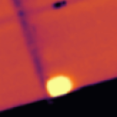
Hotspot
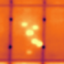
Multi-hotspot
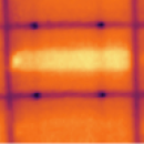
Single bypassed substring
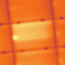
Double-bypassed substring
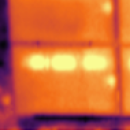
Single diode
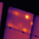
Multi diode
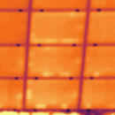
PID
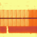
String (open circuit)
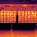
String (reversed polarity)
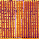
Combiner box
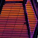
Inverter
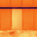
Module (open circuit)
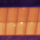
Heated Junction Box
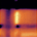
Single Cross Cell
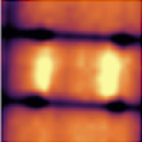
Multi Cross Cell
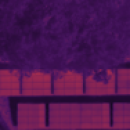
Obstruction
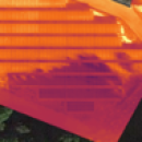
Shaded Module
And More…
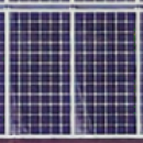
Soiling
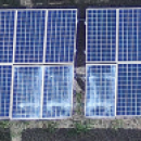
Broken Glass
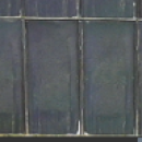
Delamination
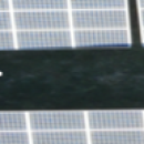
Self-Shading
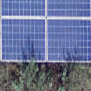
Vegetation
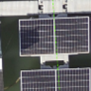
Shadowing
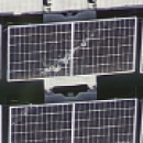
Dropping
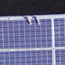
Birds (alive)
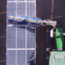
Removable object
Physical Internal
Visible Unknown
Object
And More…
Inspections industrial infrastructure
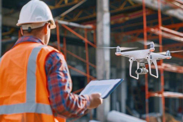
Safe inspection of hard-to-reach areas. Assessing the technical condition of chimneys, pipelines, or large-area roofs usually requires erecting scaffolding, renting aerial lifts, or hiring rope access specialists. An aerial inspection completely eliminates this risk.
What do you get out of it?
- Significant logistics savings: Doing away with scaffolding and heavy equipment results in noticeable savings at every periodic inspection.
- Operational Continuity: Drone inspections do not require halting production or taking facilities out of service.
- Early Detection of Threats: Using high-magnification cameras and thermal imaging, we identify cracks, corrosion, or gaps in the insulation that are invisible from ground level.
- Digital Archiving: Each inspection leaves a lasting record in the form of photos and videos, which makes it possible to compare the condition of the facility over the years.
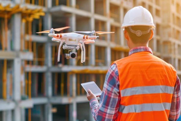
3D Models and Monitoring on the construction site
Digital mapping and progress tracking. Managing a modern construction site requires constant access to up-to-date data. Aerial photogrammetry enables regular monitoring of construction projects and the creation of digital twins of buildings and infrastructure.
What do you get out of it?
- Full control over contractors: Regular aerial surveys allow for an objective assessment of the progress of the work and verification of its compliance with the schedule.
- Virtual tours of the construction site: You can manage your investment remotely by viewing interactive 3D models, without having to be physically present on site.
- Better communication with the investor: Professional visualizations of construction progress build trust and facilitate reporting to the end client or management.
- Collision Detection: Comparing the 3D model with the design (BIM) allows for the early detection of construction errors that would be very costly to correct at a later stage.
Inspections for the insurance industry
Reliable risk assessment and efficient claims settlement. Assessing damage caused by fires, storms, or floods often requires appraisers to enter damaged and hazardous areas. The use of drones allows for detailed inspections of large areas and structures from a completely safe distance, providing indisputable evidence.
What do you get out of it?
- Faster claims settlement: Speeding up the decision-making process through efficient access to high-quality photos, videos, and 3D models from the scene.
- Safety of Appraisers: Eliminates the need to work on damaged roofs and structures at risk of collapse. The drone can reach places where it is too risky for a person to go.
- Protection Against Abuse: Comprehensive, highly detailed aerial documentation serves as solid, objective evidence, significantly minimizing the risk of unfounded claims.
- Effective Risk Assessment Before Insurance: The ability to conduct a thorough inventory and inspect the technical condition of large industrial facilities or solar farms even before the policy is signed.
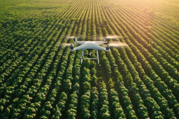
Agriculture – Wildlife Conservation before haymaking
Ensure the safety of wild animals and prevent tragic accidents during field work. Vast meadows and tall crops provide natural shelter for young roe deer, hares, and ground-nesting birds. They are difficult to spot from inside a tractor cab, which poses a huge risk during mowing. A drone flight equipped with an advanced thermal imaging camera is currently the fastest and most effective method for locating animals before work begins.
What do you get out of it?
- Maximum detection efficiency: A sensitive thermal imaging camera precisely detects the heat signatures of animals hidden in dense, tall grass, especially in the early morning hours when the temperature contrast is greatest.
- Safety of Agricultural Machinery: You protect not only wildlife but also expensive equipment (such as mowers and forage harvesters) from serious damage and breakdowns that can result from an animal being pulled into the machine's mechanisms.
- Time savings and workflow efficiency: An automated aerial survey scans large-scale crops in a fraction of the time it would take to conduct a traditional, inefficient ground search. You can start haymaking with peace of mind and without unplanned downtime.
Surveying and cartography
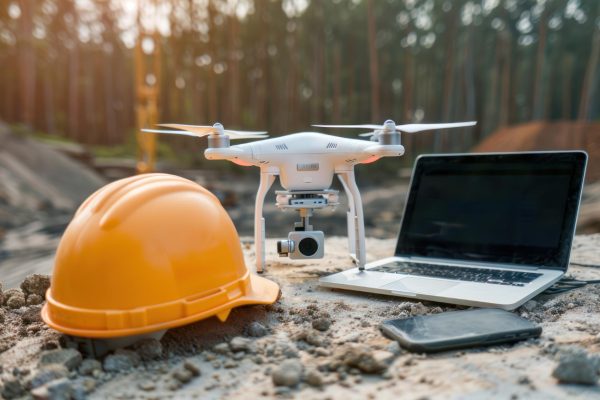
Accurate spatial data for your project. Traditional surveys of large areas can be time-consuming. Using a drone equipped with an RTK module allows for the efficient collection of highly accurate terrain data in a fraction of the time required by standard methods.
What do you get out of it?
- Efficient Land Settlements: Accurate calculations of the volumes of stockpiles, excavations, and earthworks enable reliable billing of subcontractors based on hard data rather than estimates.
- Accurate to the centimeter: Thanks to RTK technology, the data is fully reliable and ready for use in CAD or GIS systems.
- Data Accuracy: Unlike satellite maps, a drone-generated orthophoto map shows the actual conditions as of the date of the flight, which is crucial for rapidly changing construction sites.
- Surveyor Safety: Measurements can be taken in hard-to-reach or hazardous locations (e.g., active mining sites, landfills) without putting personnel at risk.
Price List for Services for business
The final quote depends on the scope of the project, the location, and the level of data processing required.
Inspection of photovoltaic systems and solar farms:
- up to 200 kWp 700 zł
- up to 600 kWp 1,800 zł
- up to 1 MWp 2,600 zł
- greater than 1 MWp starting at 3,500 PLN
Thermal Imaging (Renewable Energy Sources and Large-Scale Facilities)
- Inspection of a Large-Area Roof starting at 2,000 PLN
- Thermal imaging inspection of the entire building (facade + roof) starting at 3,500 PLN
Promotion
When signing a 2-year service contract – price reduced by 20%.
Surveying and Construction (RTK Surveys) – upon consultation with a surveyor
All services in this section are priced individually. Prices are quoted on a case-by-case basis after a licensed surveyor has determined the exact scope of work.
Infrastructure
- Wind Turbine Inspection starting at 1,500 zł
- High-Altitude Inspections (Chimneys, Masts, Bridges) starting at 1,200 PLN
- Inspection of Pipelines and Power Lines custom quote
Agriculture
Aerial patrol to protect wildlife from hay harvesters (using thermal imaging): Custom quote.
The Insurance Industry
Aerial documentation of structural and property damage: Customized valuation (analysis of the effects of fires, windstorms, and floods).
Promotion
For a 2-year contract – the price of airstrikes reduced by 20%.
A Day in the Life of an Operator
- Renting a Pilot with an Industrial Drone starting at 3,500 PLN
Up to 8 hours on site, RTK/thermal equipment
SAR Search and Rescue Operations (for emergency services)
Support for emergency response teams: searching for people and property in difficult terrain using advanced thermal imaging and optical zoom. Individual pricing / to be determined.