
Your trusted partner in acquiring precise data from the air
Are you looking for a reliable service provider who can deliver accurate spatial and visual data for your projects? We collaborate with the surveying industry, architectural firms, and appraisers, providing ready-to-process data. By commissioning us to conduct aerial surveys, you save time, optimize costs, and enhance the safety of your daily work.
- Surveying Collaboration
- Support for Architects and Designers
- For Appraisers and Claims Adjusters
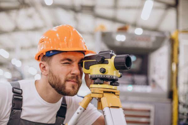
Collaboration surveying
Ready-to-use spatial data without spending hours on field measurements. We specialize in acquiring high-quality aerial data necessary for creating orthophotomaps, dense point clouds, and 3D models. We provide surveyors with the processed data, which significantly lowers operating costs and reduces the time spent on field measurements.
What do you get out of it?
- A huge time saver: We collect data from very large or hard-to-reach areas in a fraction of the time it would take using a traditional total station or GPS receiver.
- High accuracy (RTK): We use drones equipped with positioning modules, ensuring the centimeter-level precision required for surveying work.
- Files Ready to Use: You receive organized data in formats compatible with your software, ready for further specialized processing.
Support architects and designers
Digital models that facilitate inventory taking and design. Designing in BIM and CAD environments requires a precise representation of the existing conditions. We provide detailed 3D models of buildings, facades, and development sites, which serve as an ideal foundation for conceptual work and complex architectural surveys.