Thermal imaging with a drone, make sure for their home and safety
Modern drone technology isn't just about industrial solutions. See how precise measurements and thermal imaging can help lower energy bills, protect property, or provide support in difficult situations—quickly, safely, and with transparent terms.
- Thermal Imaging of Residential Solar Power Systems
- Thermal Imaging of Buildings and Roofs
- Documentation of Property Damage
- Searches for Missing Animals
Home Thermal Imaging photovoltaics
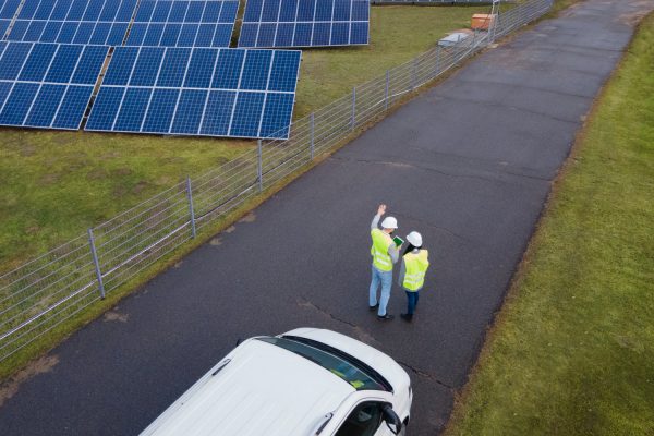
Ensure that your panels operate at full capacity and remain safe. Even microscopic cracks, failures of individual diodes, or damage hidden beneath the glass can significantly reduce the power output of an entire group of interconnected panels and, in extreme cases, pose a fire hazard. An aerial inspection allows for a precise examination of each module from the appropriate angle while it is operating normally. The entire process is carried out efficiently, without shutting down the system and without the need to risk climbing a steep roof, which also eliminates the risk of accidental damage to the equipment.
What do you get out of it?
- Early detection hotspots and damaged cells.
- Validation the operation of safety diodes (bypasses).
- Impact Assessment microcracks and shading on overall performance.
- A clear report along with the thermal images, which serve as the basis for a potential complaint.
Thermal Imaging buildings and roofs
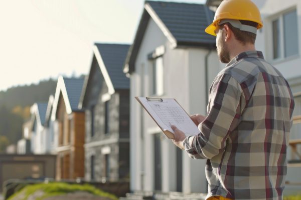
Identify heat loss and reduce your heating costs. Hidden insulation defects are often responsible for significant energy losses, rooms getting too cold, and unnecessarily high heating bills. Aerial thermal imaging is a fast and completely non-invasive method for inspecting an entire building. It allows for the inspection of hard-to-reach areas—such as high roof surfaces, chimneys, or complex facade joints—providing a complete picture of a home’s technical condition before purchase or a planned renovation.
What do you get out of it?
- Exact location thermal bridges and drafts around windows and doors.
- Detection of any defects or errors in the insulation of the attic and exterior walls.
- Location Information, where hidden moisture can accumulate, promoting mold growth.
- Hard, visual data, which will help you plan your budget and the scope of your future energy-efficiency retrofit effectively.
Documentation property damage
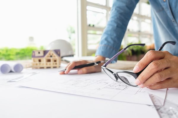
Gather reliable information for the insurer. After storms, fires, or floods, it is essential to document the damage safely and accurately. Aerial inspections completely eliminate the risk of being in hazardous environments or on unstable structures. In addition to standard photographic documentation, precise 3D models of the damaged property are also created—including real estate, infrastructure, and large-scale movable property.
What do you get out of it?
- Detailed photos and drone footage and an interactive 3D model that allows appraisers to safely and accurately assess the extent of damage from any perspective. This provides comprehensive and highly reliable evidence for the claims settlement process.
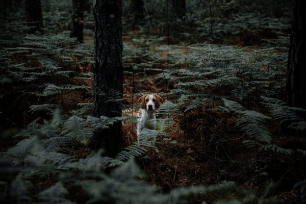
Searches missing animals
Gain an advantage from the air when every second counts. Losing a pet is very stressful. Advanced thermal imaging technology allows for efficient searches both day and night. A drone equipped with a thermal camera detects the heat emitted by the animal, even in dense underbrush.
What do you get out of it?
- The ability to search safely vast, hard-to-reach areas (forests, fields, tall grass), which significantly increases the chances of finding the animal.
Price List for Services for individual customers
Roof and Gutter Inspections (Visual Camera)
- Inspection of the condition of the roofing, chimneys, and gutter flow starting at 390 zł
- Detailed documentation of the damage (200x magnification) starting at 550 zł
Thermal Imaging of a Building (Heat Loss Detection)
- Air Tightness Test of Insulation, Windows, and Doors (Single-Family Home) starting at 590 zł
- Locating Moisture and Leaks in Plumbing Systems starting at 450 zł
Inspection of Residential Photovoltaic (PV) Systems
- Panel scan (up to 10 kWp) + hotspot report in PDF starting at 490 zł
Searching for Missing Animals (Thermal Imaging)
- Search mission (3-hour flight, 4 battery packs, thermal imaging) starting at 800 zł
3D Models of Properties
- Digital Survey of the Building Structure and Site starting at 1,100 PLN
Neighborhood Promotion – Save 15%
Take advantage of the lower price together with your neighbors. If the service is provided for at least 3 houses At the same location and on the same day, everyone will receive 15% discount for the selected service.
Additional information: Upon request, we also provide real estate photography and videography (e.g., for sale). The service is priced on a project-by-project basis, usually in amounts of starting at 400 zł.