
Your trusted partner in acquiring precise data from the air
Are you looking for a reliable service provider who can deliver accurate spatial and visual data for your projects? We collaborate with the surveying industry, architectural firms, and appraisers, providing ready-to-process data. By commissioning us to conduct aerial surveys, you save time, optimize costs, and enhance the safety of your daily work.
Case Study 1
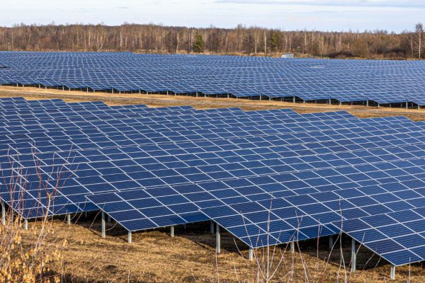
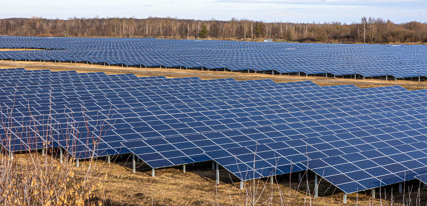
Thermal Imaging Inspection of a Solar Farm (2 MW)
- Customer's problem
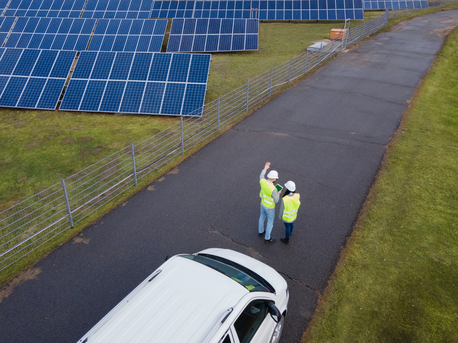
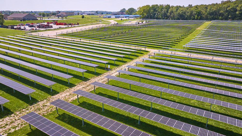
The investor noticed a drop in energy production at the solar farm, but the inverter monitoring system did not clearly indicate the cause. Manually checking thousands of panels by service technicians would entail high costs and several days of downtime for part of the installation.
- Selected Airstrike Methodology
We conducted a fully automated drone survey using a drone equipped with a radiometric thermal imaging camera and an RTK module. The work was carried out during the midday hours, under adequate sunlight, without the need to shut down the inverters. The entire data collection process took only a few hours.
- The Solution Provided
The client received a detailed report (thermal orthophoto map) in which we identified 14 overheating points (hotspots) and two deactivated strings. By assigning precise GPS coordinates to each defective panel, the service team was able to immediately go to the indicated locations, replace the damaged modules, and restore the farm to full capacity.
Case Study 2
Settlement of Earthwork Volumes at the Construction Site
- Customer's problem
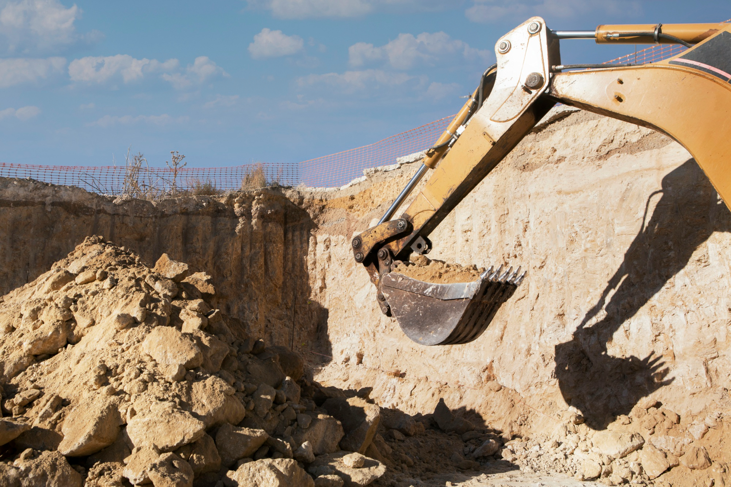
The general contractor for a road construction project needed reliable data to settle accounts with the subcontractor regarding the amount of aggregate hauled away and the volume of excavations completed. Traditional surveying on an active construction site would have required halting the movement of heavy equipment and would have put surveyors at risk.
- Selected Airstrike Methodology
A photogrammetric flight was conducted using a drone equipped with an RTK receiver, supported by ground control points (GCPs). The flight path was planned to capture a dense, high-accuracy point cloud for the entire earthworks area.
- The Solution Provided
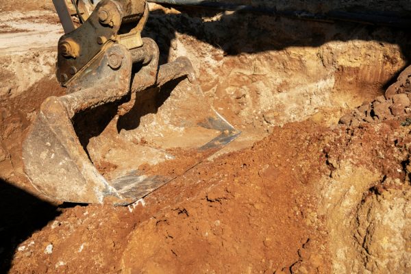
Based on the collected photos, we generated a Digital Elevation Model (DEM) and a precise volume report. The documentation included precise calculations in cubic meters (m³), which allowed both companies to settle financial accounts for the work performed in a transparent and uncontested manner, based on hard spatial data.




Case Study 3
Inspection Report on a Fire-Damaged Roof (for an Appraiser)
- Customer's problem
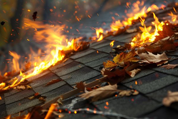
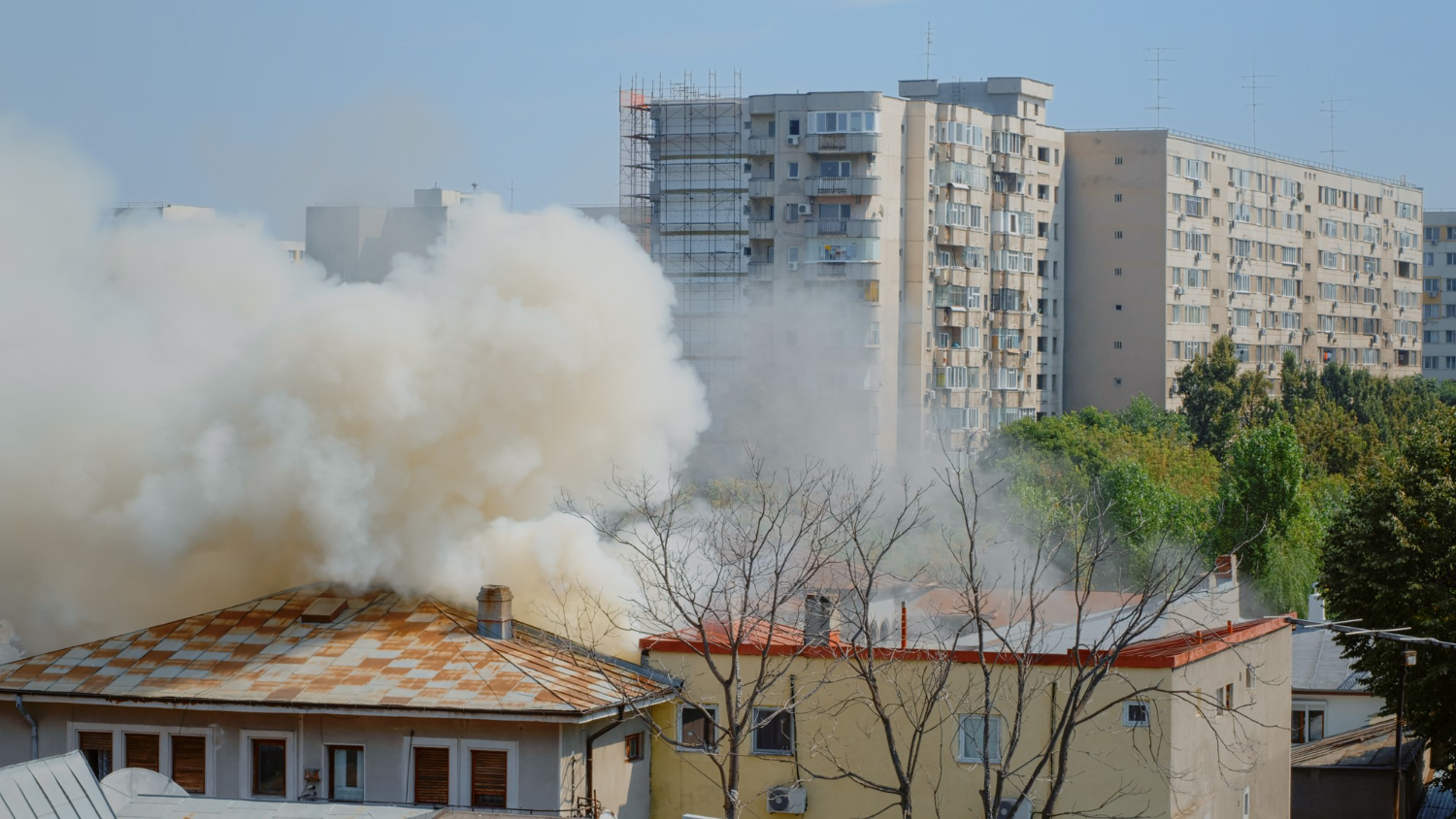
After a fire in the warehouse, an insurance adjuster had to assess the condition of the roof sheathing and the load-bearing steel structure. Due to the risk of collapse, the building inspectorate issued a complete ban on access to the premises and its interior, which halted the damage assessment process.
- Selected Airstrike Methodology