
Surveying with a Drone - precise spatial data for projects
Advanced engineering and construction projects require precision and rely on up-to-date information. The use of drones equipped with an RTK module enables the creation of precise maps and terrain models, as well as the automation of monitoring processes. This hard, reliable data facilitates planning, design, and ongoing asset management.
- Measurements of the volume of earthworks (aggregates, stockpiles, excavations)
- Orthophotos and Digital Elevation Models (DEMs)
- 3D Models and Facility Surveys
- Automated monitoring of work progress
- Automated Property Protection and Monitoring
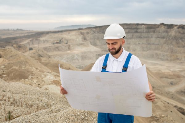
Volume Measurements earthworks (aggregates, spoil piles, excavations)
A reliable basis for settlements with contractors. Traditional methods of measuring stockpiled materials can be time-consuming and less accurate when dealing with irregular shapes. Aerial photogrammetry allows for non-intrusive volume calculations with high accuracy, regardless of the terrain.
What do you get out of it?
- Transparent accounting: Accurate volume reports provide certainty when invoicing earthwork, purchasing aggregates, or settling accounts with subcontractors based on the actual volumes moved.
- Time savings: Surveying large areas (e.g., open-pit mines, gravel pits) takes only a fraction of the time it would take a surveyor working on the ground.
- Safety: Eliminates the need to walk on unstable piles of material or near heavy equipment.